
Elevating impact in the drones for good space
Join a global community of researchers, entrepreneurs, and social impact professionals who read our weekly #dronesforgood newsletter.


Elevate Your Impact
Four Hundred Feet is a social enterprise that helps individuals and organizations leverage drone technology to elevate their impact in the global health, environmental, and humanitarian sectors.


understand the ecosystem
Get the 2024 Guide to Drones for Good
From disaster response to environmental conservation, this guide outlines how drones are used across 15 different verticals, links to top resources, and highlights the major players in the space.
Whether you’re seeking collaborators, conducting market research, or searching for your next dream job, this free guide has everything you need to successfully navigate the #dronesforgood ecosystem.

Meet the founder
Hi, I’m Kat James.
I believe we've just scratched the surface of the positive impact drone technology and spatial data can have in areas like conservation, disaster management, and medical drone delivery.
I help individuals and organizations working in the social good sector drive environmental and social impact through consulting services and educational resources.
Consulting services
Let’s work together
From developing an M&E framework for the government of Malawi to conducting stakeholder research for a drone project in Nepal, I bring a multidisciplinary skillset to the projects I work on.
I craft proposals and write technical reports, help teams navigate regulatory landscapes, conduct market research, facilitate partnerships, and collect and analyze spatial data.
With over a decade of experience working with emerging technologies in low-resource settings, I’m flexible, resourceful, and know how to get things done.
Reach out to learn more about how we might work together to advance your team’s goals.
trusted by


Free Tools & Resources

Free Guide
2024 Guide to Drones for Good
Whether you’re looking for collaborators, conducting market research, or searching for your next dream job, this free guide has everything you need to successfully navigate the #dronesforgood ecosystem.
Free Guide & Database
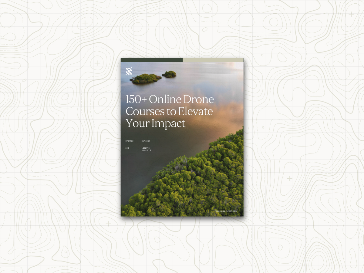
150+ Online Drone Courses to Elevate Your Impact
Looking to master the fundamentals of GIS and drone mapping or learn how to successfully launch a drone business? This comprehensive guide connects you to the top programs across the industry, giving you everything you need to level-up.


